Overview A low off the Mid-Atlantic interacting with a High Pressure advancing Northeast will set up a nice gradient of North to Northeast winds targeting the Florida coast. It’s not a major storm, so we’re not expecting huge numbers- but it should get in to the fun-sized range this weekend. Winds may not entirely cooperate, but we may see some…
Author: thankyousurfing
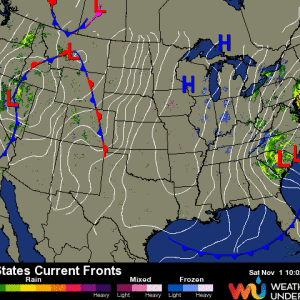
Cold Front, Cold Front
Overview A cold front passed through the Florida peninsula bringing dry, cool air in to the region. Another, stronger cold front is currently making its way south. Currently, the front is pushing through Lake Okeechobee and is bringing another shot of colder air along with Northwest/North winds. This feature, combined with a rapidly deepening low off the Mid-Altlantic coast, will…
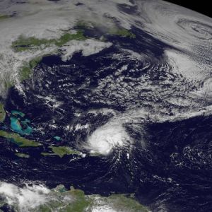
Hurricane Gonzalo
While the cold front draping across the Southeast and the broad low in the North Atlantic may be indicative of Fall, we have a serious tropical system in the Atlantic Basin just Northeast of Puerto Rico.
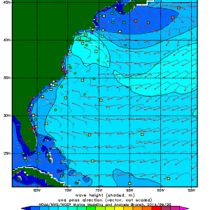
More September Sessions from Mid-Atlantic Low
A low exited the mid-Atlantic region and is forecast to hug the Northeast coast before heading out of the picture. As this low moves up the coast, look for a solid windswell/groundswell to fill in to exposed coastlines. Conditions will be pretty raw since the low is so close to land.
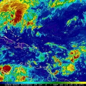
Windswell Sunday Funday
We have a low off the Southeast coast that formed in the wake of a dissipated cold front. While the storm is not predicted to develop in to a tropical system, it still is creating the wind necessary to build a small swell for Florida this weekend
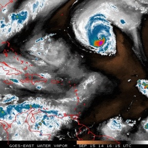
Hurricane Edouard Surf Forecast
Our fifth named storm of the 2014 Atlantic Basin Tropical Season is chugging along nicely in the Western Atlantic. The storm is nearing Category 3 status, as conditions have been favorable for development- and will continue to be conducive for continued strengthening. Luckily, the storm poses no threat to land…except for high surf along exposed coasts.
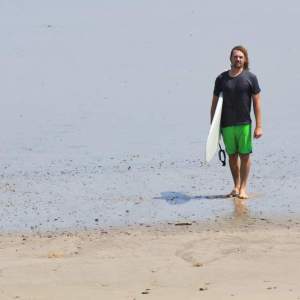
So, I Started ThankYouSurfing
In the mid-90’s I started surfing. Luckily for me, my formative years as a surfer coincided with the advent of the internet age. As a teenage kid with a web browser, I spent countless hours reading and studying any surf-related website I could find; usually homegrown sites created by surfers for surfers. I’d spend the time I couldn’t surf…