
A low exited the mid-Atlantic region and is forecast to hug the Northeast coast before heading out of the picture. As this low moves up the coast, look for a solid windswell/groundswell to fill in to exposed coastlines. Conditions will be pretty raw since the low is so close to land.
Category: Forecasting
Windswell Sunday Funday
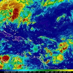
We have a low off the Southeast coast that formed in the wake of a dissipated cold front. While the storm is not predicted to develop in to a tropical system, it still is creating the wind necessary to build a small swell for Florida this weekend
Hurricane Edouard Surf Forecast
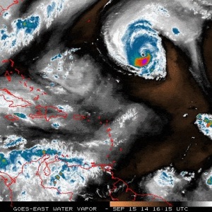
Our fifth named storm of the 2014 Atlantic Basin Tropical Season is chugging along nicely in the Western Atlantic. The storm is nearing Category 3 status, as conditions have been favorable for development- and will continue to be conducive for continued strengthening. Luckily, the storm poses no threat to land…except for high surf along exposed coasts.